
File:Carte du Québec au sein du Canada.svg

Size of this PNG preview of this SVG file: 707 × 600 pixels. Otro resolushon: 283 × 240 pixels | 566 × 480 pixels | 905 × 768 pixels | 1,207 × 1,024 pixels | 2,414 × 2,048 pixels | 1,083 × 919 pixels.
Fail original (Fail SVG, nominalmente 1,083x919 pixel, tamaño di fail: 80 KB)
Resúmen
| Deskripshon | |
| Fecha | (UTC) |
| Fuente |
Obra propio. Source :
|
| Outor | Sémhur (talk) |
| Other versions |
Derivative works of this file: |
| SVG genesis | |
| Atribushon (required by the license) | © Sémhur / Wikimedia Commons / |
.svg)
| Camera location | | View this and other nearby images on: OpenStreetMap |
|---|
Lisensia
I, the copyright holder of this work, hereby publish it under the following licenses:
| Copyleft: This work of art is free; you can redistribute it and/or modify it according to terms of the Free Art License. You will find a specimen of this license on the Copyleft Attitude site as well as on other sites. |
This file is licensed under the Creative Commons Attribution-Share Alike 4.0 International, 3.0 Unported, 2.5 Generic, 2.0 Generic and 1.0 Generic license.
- Bo ta liber:
- pa kompartí – pa kopia, distribuí i transmití e obra
- pa rekombiná – pa adaptá e obra
- Di akuerdo ku e próksimo kondishonnan:
- atribushon – Bo mester duna krédito na e outor, duna un lenk na e lisensia, i indiká si a hasi kambio. Bo por hasi esei na kualke manera rasonabel, perono na manera ku por sugerí ku esun ku ta otorgá e lisensia ta respaldá abo òf bo uzo.
- kompartí meskos – Si bo meskla, transfrmáòf modifiká e obra bo mester distribuí bo kontribushonnan bou di [mes lisensia https://creativecommons.org/share-your-work/licensing-considerations/compatible-licenses òf unu kompatibel] ku esun original.
Bo por skohe e lisensia preferí.
Historia di fail
Klek riba un fecha/ora pa mira e fail, manera e tabata na e momentu ei.
| Fecha/Ora | Miniatura | Dimenshonnan | Usuario | Komentario | |
|---|---|---|---|---|---|
| aktual | 17:09, 7 desèmber 2014 | | 1,083 × 919 (80 KB) | Sémhur | Valid SVG |
| 14:56, 8 desèmber 2011 |  | 1,083 × 919 (80 KB) | Riba | Minor corrections of colors. | |
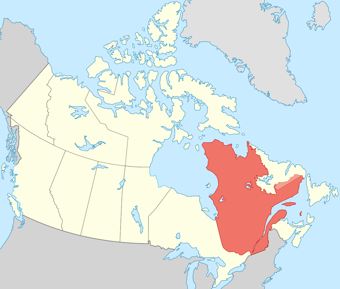
| 19:51, 27 sèptèmber 2011 |  | 1,083 × 919 (75 KB) | Sémhur | == {{int:filedesc}} == {{Information |Description={{Multilingual description |en= Blank map showing en:Québec in Canada, in red, with the disputed area between Quebec and Labrador, in pink. |fr= Carte montrant le fr:Québec au sein du Canada, |
Uso di fail
E próksimo page uses ta uza e fail akí:
Uso global di fail
E próksimo otro wikinan ta usa e fail akí
- Uso na af.wikipedia.org
- Uso na ang.wikipedia.org
- Uso na arc.wikipedia.org
- Uso na bat-smg.wikipedia.org
- Uso na br.wikipedia.org
- Uso na co.wikipedia.org
- Uso na cr.wikipedia.org
- Uso na el.wikipedia.org
- Uso na el.wikivoyage.org
- Uso na eo.wikipedia.org
- Uso na eo.wikinews.org
- Uso na es.wikipedia.org
- Uso na et.wikipedia.org
- Uso na fiu-vro.wikipedia.org
- Uso na fo.wikipedia.org
- Uso na fr.wikipedia.org
- Uso na gag.wikipedia.org
- Uso na gl.wikipedia.org
- Uso na gv.wikipedia.org
- Uso na hak.wikipedia.org
- Uso na ha.wikipedia.org
- Uso na hy.wikipedia.org
- Uso na incubator.wikimedia.org
- Uso na it.wikivoyage.org
- Uso na ja.wikipedia.org
- Uso na ka.wikipedia.org
- Uso na kw.wikipedia.org
- Uso na lb.wikipedia.org
- Uso na lv.wikipedia.org
- Uso na mi.wikipedia.org
- Uso na nds-nl.wikipedia.org
- Uso na no.wikipedia.org
- Uso na nrm.wikipedia.org
- Uso na pa.wikipedia.org
- Uso na pcd.wikipedia.org
- Uso na pl.wikipedia.org
- Uso na pt.wikipedia.org
- Uso na qu.wikipedia.org
- Uso na ro.wikipedia.org
- Uso na ru.wiktionary.org
- Uso na sco.wikipedia.org
- Uso na sl.wikipedia.org
- Uso na sr.wikipedia.org
Mira mas uzo global di e fail akí.