
File:Haiti, 4.5, 20 May 2010.jpg
Tamaño di bista previo: 536 × 599 pixels. Otro resolushon: 215 × 240 pixels | 612 × 684 pixels.
Fail original (612 × 684 pixel, tamaño di fail: 163 KB, MIME type: image/jpeg)
| Deskripshon |
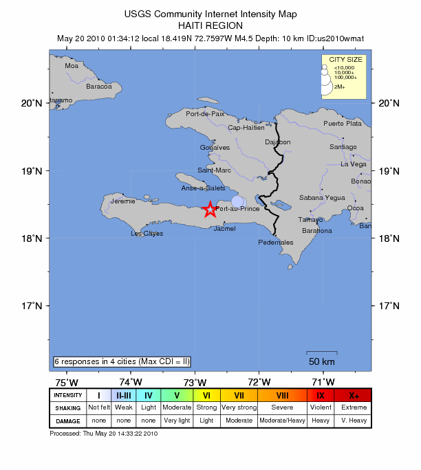
English: Intensity map of an earthquake which occured in Haiti on 20th May 2010. |
|||
| Fecha | ||||
| Fuente | https://earthquake.usgs.gov/earthquakes/dyfi/events/us/2010wmat/us/index.html | |||
| Outor | USGS | |||
| Pèrmit (Ta re-utilisá e fail akí) |
|
Historia di fail
Klek riba un fecha/ora pa mira e fail, manera e tabata na e momentu ei.
| Fecha/Ora | Miniatura | Dimenshonnan | Usuario | Komentario | |
|---|---|---|---|---|---|
| aktual | 15:40, 20 mei 2010 | | 612 × 684 (163 KB) | Seksen iki yüz kırk beş | {{Information |Description={{en|1=Intensity map of an earthquake which occured in Haiti on 20th May 2010.}} |Source=http://earthquake.usgs.gov/earthquakes/dyfi/events/us/2010wmat/us/index.html |Author=USGS |Date=20th May 2010 |Permission={{PD- |
Uso di fail
E próksimo page uses ta uza e fail akí: