
File:Map of USA highlighting California.png

No tin resolushon mas mihó.
Map_of_USA_highlighting_California.png (280 × 183 pixel, tamaño di fail: 36 KB, MIME type: image/png)
Resúmen
| Deskripshon |
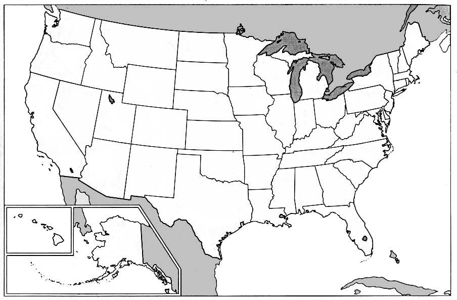
English: Public domain map courtesy of The General Libraries, The University of Texas at Austin, modified to highlight state boundaries.
Русский: Карта США с выделенной Калифорнией
Tiếng Việt: Bản đồ các tiểu bang Hoa Kỳ với California được tô đậm màu đỏ, nhờ Thư Viện Chung, Đại Học Texas ở Austin cho những bản đồ có phạm vi công cộng, bị sửa đổi để chiếu những biên giới giữa tiểu bang. |
| Fecha | 24 yüli 2003 (original upload date) |
| Fuente |
Transferred from en.wikipedia. |
| Outor | Original uploader was The Anomebot at en.wikipedia |
Lisensia

|
Ta pèrmití kopia, distribuí i/òf modifiká e dokumento akí segun e GNU Free Documentation License, Vershon 1.2 òf kualke vershon mas resien publiká pa Free Software Foundation; sin Sekshon Invariante, sin teksto Front-Cover, i sin teksto Back-Cover. Un ehemplar di e lisensia ta inkluí den e sekshon yamá Lisensia di Dokumentashon Liber GNU. |
| E fail akí tin lisensia Creative Commons Attribution-Share Alike 3.0 Unported. | ||
| ||
| This licensing tag was added to this file as part of the GFDL licensing update. |
Original upload log
The original description page was here. All following user names refer to en.wikipedia.
- 2003-07-24 20:19 The Anomebot 280×183× (36525 bytes) Public domain map courtesy of [http://www.lib.utexas.edu/ The General Libraries, The University of Texas at Austin], modified to show counties. Released under GFDL. See [[Wikipedia:U.S. county map]]s.
Historia di fail
Klek riba un fecha/ora pa mira e fail, manera e tabata na e momentu ei.
| Fecha/Ora | Miniatura | Dimenshonnan | Usuario | Komentario | |
|---|---|---|---|---|---|
| aktual | 23:32, 3 yanüari 2005 | | 280 × 183 (36 KB) | Samulili | {{GFDL}} from enWikiPedia |
Uso di fail
E próksimo page uses ta uza e fail akí:
Uso global di fail
E próksimo otro wikinan ta usa e fail akí
- Uso na az.wiktionary.org
- Uso na bg.wikipedia.org
- Uso na bi.wikipedia.org
- Uso na br.wikipedia.org
- Uso na cv.wikipedia.org
- Uso na cy.wiktionary.org
- Uso na en.wikipedia.org
- Uso na en.wiktionary.org
- Uso na es.wikipedia.org
- Uso na es.wikinews.org
- Uso na fa.wikipedia.org
- Uso na fr.wikipedia.org
- Uso na fr.wikinews.org
- Uso na hak.wikipedia.org
- Uso na hr.wiktionary.org
- Uso na hu.wikipedia.org
- Uso na hu.wikiquote.org
- Uso na ig.wikipedia.org
- Uso na it.wikipedia.org
- Uso na ja.wiktionary.org
- Uso na ko.wikipedia.org
- Uso na kw.wikipedia.org
- Uso na lb.wikipedia.org
- Uso na lij.wikipedia.org
- Uso na li.wikipedia.org
- Uso na nl.wikipedia.org
- Californië (doorverwijspagina)
- Thousand Oaks
- Costa Mesa
- Concord (Californië)
- Corona (Californië)
- Daly City
- Downey (Californië)
- El Monte (Californië)
- Escondido
- Fullerton (Californië)
- Hayward (Californië)
- Huntington Beach
- Irvine (Californië)
- Lancaster (Californië)
- Norwalk (Californië)
- Oceanside (Californië)
- Ontario (Californië)
Mira mas uzo global di e fail akí.