
File:Suriname location map.svg

Size of this PNG preview of this SVG file: 588 × 600 pixels. Otro resolushon: 235 × 240 pixels | 470 × 480 pixels | 753 × 768 pixels | 1,004 × 1,024 pixels | 2,007 × 2,048 pixels | 1,181 × 1,205 pixels.
Fail original (Fail SVG, nominalmente 1,181x1,205 pixel, tamaño di fail: 269 KB)
Resúmen
| Deskripshon |
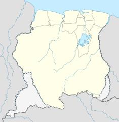
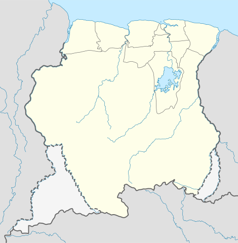
Deutsch: Positionskarte von Suriname
Quadratische Plattkarte. Geographische Begrenzung der Karte:
English: Location map of Suriname
Equirectangular projection. Geographic limits of the map:
|
| Fecha | 1 desèmber 2008 (upload date) |
| Fuente |
own work, using
|
| Outor | NordNordWest |
| Other versions | Derivative works of this file: Suriname relief location map.jpg |

|
This map has been made or improved in the German Kartenwerkstatt (Map Lab). You can propose maps to improve as well.
|
Lisensia
I, the copyright holder of this work, hereby publish it under the following licenses:

|
Ta pèrmití kopia, distribuí i/òf modifiká e dokumento akí segun e GNU Free Documentation License, Vershon 1.2 òf kualke vershon mas resien publiká pa Free Software Foundation; sin Sekshon Invariante, sin teksto Front-Cover, i sin teksto Back-Cover. Un ehemplar di e lisensia ta inkluí den e sekshon yamá Lisensia di Dokumentashon Liber GNU. |
E fail akí tin lisensia Creative Commons Attribution-Share Alike 3.0 Unported.
- Bo ta liber:
- pa kompartí – pa kopia, distribuí i transmití e obra
- pa rekombiná – pa adaptá e obra
- Di akuerdo ku e próksimo kondishonnan:
- atribushon – Bo mester duna krédito na e outor, duna un lenk na e lisensia, i indiká si a hasi kambio. Bo por hasi esei na kualke manera rasonabel, perono na manera ku por sugerí ku esun ku ta otorgá e lisensia ta respaldá abo òf bo uzo.
- kompartí meskos – Si bo meskla, transfrmáòf modifiká e obra bo mester distribuí bo kontribushonnan bou di [mes lisensia https://creativecommons.org/share-your-work/licensing-considerations/compatible-licenses òf unu kompatibel] ku esun original.
Bo por skohe e lisensia preferí.
Historia di fail
Klek riba un fecha/ora pa mira e fail, manera e tabata na e momentu ei.
| Fecha/Ora | Miniatura | Dimenshonnan | Usuario | Komentario | |
|---|---|---|---|---|---|
| aktual | 16:03, 1 desèmber 2008 | | 1,181 × 1,205 (269 KB) | NordNordWest | {{Information |Description= {{de|Positionskarte von Suriname}} Quadratische Plattkarte. Geographische Begrenzung der Karte: * N: 6.4° N * S: 1.3° N * W: 58.6° W * O: 53.6° W {{en|Location map of Suriname}} Equirectang |
Uso di fail
E próksimo page uses ta uza e fail akí:
Uso global di fail
E próksimo otro wikinan ta usa e fail akí
- Uso na af.wikipedia.org
- Uso na an.wikipedia.org
- Uso na ar.wikipedia.org
- Uso na ast.wikipedia.org
- Uso na az.wikipedia.org
- Uso na be-tarask.wikipedia.org
- Uso na be.wikipedia.org
- Uso na bg.wikipedia.org
- Uso na bn.wikipedia.org
- Uso na bs.wikipedia.org
- Uso na ca.wikipedia.org
- Uso na ceb.wikipedia.org
Mira mas uzo global di e fail akí.