
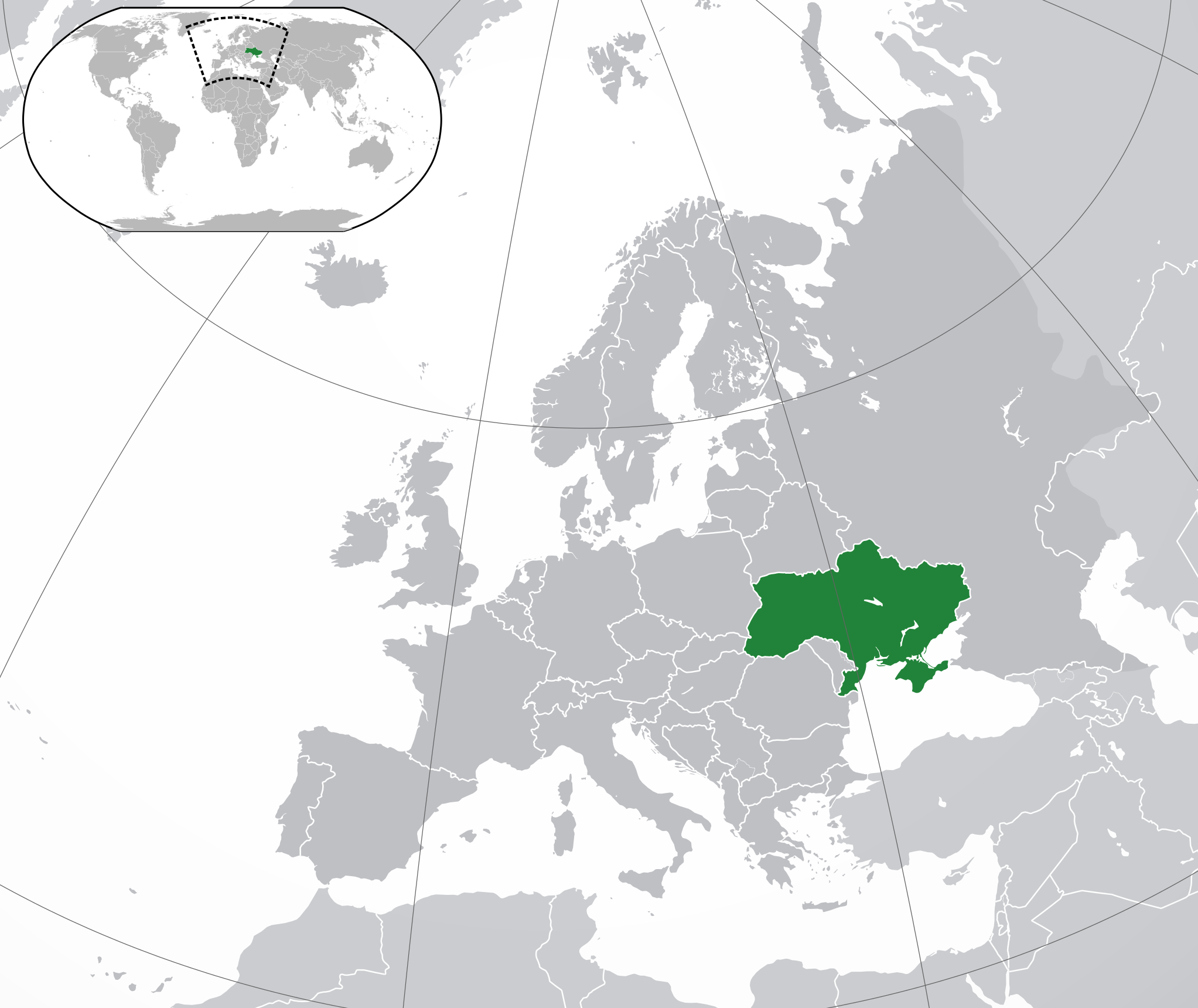
File:Europe-Ukraine.svg

Size of this PNG preview of this SVG file: 713 × 600 pixels. Otro resolushon: 285 × 240 pixels | 571 × 480 pixels | 913 × 768 pixels | 1,218 × 1,024 pixels | 2,435 × 2,048 pixels | 2,045 × 1,720 pixels.
Fail original (Fail SVG, nominalmente 2,045x1,720 pixel, tamaño di fail: 7.33 MB)
Resúmen
| Deskripshon | |
| Fecha | |
| Fuente | Obra propio |
| Outor |
|
| Other versions |
|
| SVG genesis |
.svg)
Lisensia
I, the copyright holder of this work, hereby publish it under the following license:
This file is licensed under the Creative Commons Attribution 3.0 Unported license.
- Bo ta liber:
- pa kompartí – pa kopia, distribuí i transmití e obra
- pa rekombiná – pa adaptá e obra
- Di akuerdo ku e próksimo kondishonnan:
- atribushon – Bo mester duna krédito na e outor, duna un lenk na e lisensia, i indiká si a hasi kambio. Bo por hasi esei na kualke manera rasonabel, perono na manera ku por sugerí ku esun ku ta otorgá e lisensia ta respaldá abo òf bo uzo.
Historia di fail
Klek riba un fecha/ora pa mira e fail, manera e tabata na e momentu ei.
| Fecha/Ora | Miniatura | Dimenshonnan | Usuario | Komentario | |
|---|---|---|---|---|---|
| aktual | 17:19, 12 desèmber 2022 | | 2,045 × 1,720 (7.33 MB) | Alexassandro | Reverted to version as of 14:22, 11 August 2015 (UTC) |
| 01:18, 10 mart 2017 |  | 2,045 × 1,720 (7.34 MB) | Geom10 | fixed disputed borders | |
| 14:22, 11 ougùstùs 2015 |  | 2,045 × 1,720 (7.33 MB) | Seryo93 | border is suitable for uncontrolled-territory variant | |
| 08:29, 11 ougùstùs 2015 |  | 2,045 × 1,720 (7.33 MB) | Seryo93 | Second attempt at uploading | |
| 08:24, 11 ougùstùs 2015 |  | 2,045 × 1,720 (7.33 MB) | Seryo93 | Isthmus of Perekop was too wide. Updated to match File:Europe-Ukraine (disputed territory).svg (except colour, of course) | |
| 16:03, 19 mart 2014 |  | 2,045 × 1,720 (2.7 MB) | A.Savin | Reverted to pre-editwar state | |
| 20:06, 18 mart 2014 |  | 2,045 × 1,720 (2.71 MB) | Артур михайлович | Reverted to version as of 17:05, 18 March 2014 | |
| 17:06, 18 mart 2014 |  | 2,045 × 1,720 (2.71 MB) | Misha motsniy | по примеру с оккупироваными териториями Грузии и Кипра | |
| 17:05, 18 mart 2014 |  | 2,045 × 1,720 (2.71 MB) | Misha motsniy | по примеру с оккупироваными териториями Грузии и Кипра | |
| 17:04, 18 mart 2014 |  | 2,045 × 1,720 (2.71 MB) | Misha motsniy | по примеру с оккупироваными териториями Грузии и Кипра |
.svg)
Uso di fail
E próksimo page uses ta uza e fail akí:
Uso global di fail
E próksimo otro wikinan ta usa e fail akí
- Uso na ady.wikipedia.org
- Uso na af.wikipedia.org
- Uso na af.wiktionary.org
- Uso na ami.wikipedia.org
- Uso na am.wikipedia.org
- Uso na ang.wikipedia.org
- Uso na arc.wikipedia.org
- Uso na ar.wikipedia.org
- Uso na av.wikipedia.org
- Uso na awa.wikipedia.org
- Uso na az.wiktionary.org
- Uso na ba.wikipedia.org
- Uso na bbc.wikipedia.org
- Uso na be-tarask.wikipedia.org
- Uso na be.wikipedia.org
- Uso na crh.wikipedia.org
- Uso na cu.wikipedia.org
- Uso na dag.wikipedia.org
- Uso na da.wikipedia.org
- Uso na din.wikipedia.org
- Uso na en.wikipedia.org
- Uso na es.wikipedia.org
- Uso na fi.wikipedia.org
- Uso na fj.wikipedia.org
- Uso na gcr.wikipedia.org
- Uso na hr.wikipedia.org
- Uso na incubator.wikimedia.org
- Uso na inh.wikipedia.org
- Uso na it.wikipedia.org
- Uso na jam.wikipedia.org
- Uso na ja.wikipedia.org
- Uso na ka.wikipedia.org
- Uso na kg.wikipedia.org
- Uso na li.wikipedia.org
- Uso na lo.wikipedia.org
- Uso na lt.wikipedia.org
Mira mas uzo global di e fail akí.