
File:Catedral Santiago Chile.jpg
Tamaño di bista previo: 800 × 533 pixels. Otro resolushon: 320 × 213 pixels | 640 × 427 pixels | 1,024 × 683 pixels | 1,280 × 853 pixels | 2,560 × 1,707 pixels | 4,752 × 3,168 pixels.
Fail original (4,752 × 3,168 pixel, tamaño di fail: 7.92 MB, MIME type: image/jpeg)
Resúmen
|
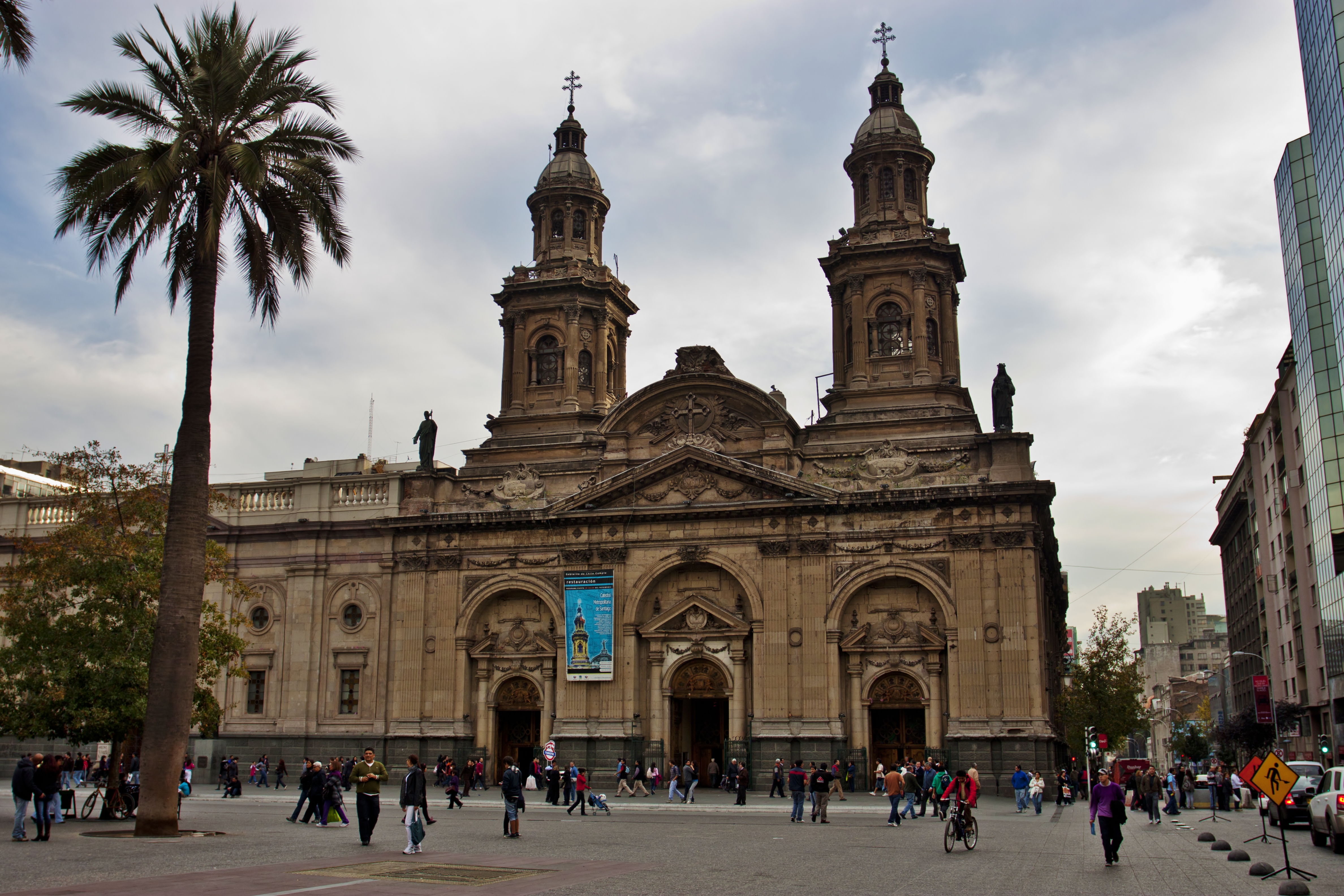
This is a photo of a national monument in Chile: 210
|
| Deskripshon |
Catedral Metropolitana de Santiago.
|
| Fecha | |
| Fuente | IMG_1584 |
| Outor | Nellu Mazilu from Mobile, Terra, Sol, Milky Way |
| Camera location | | View this and other nearby images on: OpenStreetMap |
|---|
Lisensia
This file is licensed under the Creative Commons Attribution 2.0 Generic license.
- Bo ta liber:
- pa kompartí – pa kopia, distribuí i transmití e obra
- pa rekombiná – pa adaptá e obra
- Di akuerdo ku e próksimo kondishonnan:
- atribushon – Bo mester duna krédito na e outor, duna un lenk na e lisensia, i indiká si a hasi kambio. Bo por hasi esei na kualke manera rasonabel, perono na manera ku por sugerí ku esun ku ta otorgá e lisensia ta respaldá abo òf bo uzo.
| This image was originally posted to Flickr by Jack Zalium at https://www.flickr.com/photos/7666975@N03/5730238859. It was reviewed on 29 mei 2011 by FlickreviewR and was confirmed to be licensed under the terms of the cc-by-2.0. |
Historia di fail
Klek riba un fecha/ora pa mira e fail, manera e tabata na e momentu ei.
| Fecha/Ora | Miniatura | Dimenshonnan | Usuario | Komentario | |
|---|---|---|---|---|---|
| aktual | 02:49, 29 mei 2011 | | 4,752 × 3,168 (7.92 MB) | Carlos yo | {{Information |Description=Taken at Latitude/Longitude:-33.444126/-70.650750. 1.56 km North-East Santiago Región Metropolitana Chile [http://www.geonames.org/maps/google_-33.444126_-70.650750.html (Map link)] |Source=[http://www.flickr.com/photos/kaiban/ |
Uso di fail
No tin página ku ta uza e fail akí.
Uso global di fail
E próksimo otro wikinan ta usa e fail akí
- Uso na en.wikipedia.org
- Uso na id.wikipedia.org
- Uso na it.wikipedia.org
- Uso na ru.wikipedia.org