
File:EU28-2020 on a globe.svg

Size of this PNG preview of this SVG file: 541 × 541 pixels. Otro resolushon: 240 × 240 pixels | 480 × 480 pixels | 768 × 768 pixels | 1,024 × 1,024 pixels | 2,048 × 2,048 pixels.
Fail original (Fail SVG, nominalmente 541x541 pixel, tamaño di fail: 200 KB)
Resúmen
| Deskripshon |
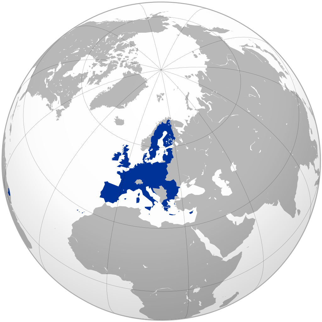
English: EU 28 on a globe (historical map)
Türkçe: Avrupa Birliği (AB 28, 2013)
Українська: Європейський Союз (ЄС 28, 2013) на глобусі |
| Fecha | |
| Fuente | Own work based on: File:EU27 on a globe.svg by S. Solberg J., Kolja21 |
| Outor | Masterdeis |
| Other versions |
|
| SVG genesis |


Lisensia
I, the copyright holder of this work, hereby publish it under the following license:
E fail akí tin lisensia Creative Commons Attribution-Share Alike 3.0 Unported.
- Bo ta liber:
- pa kompartí – pa kopia, distribuí i transmití e obra
- pa rekombiná – pa adaptá e obra
- Di akuerdo ku e próksimo kondishonnan:
- atribushon – Bo mester duna krédito na e outor, duna un lenk na e lisensia, i indiká si a hasi kambio. Bo por hasi esei na kualke manera rasonabel, perono na manera ku por sugerí ku esun ku ta otorgá e lisensia ta respaldá abo òf bo uzo.
- kompartí meskos – Si bo meskla, transfrmáòf modifiká e obra bo mester distribuí bo kontribushonnan bou di [mes lisensia https://creativecommons.org/share-your-work/licensing-considerations/compatible-licenses òf unu kompatibel] ku esun original.
Historia di fail
Klek riba un fecha/ora pa mira e fail, manera e tabata na e momentu ei.
| Fecha/Ora | Miniatura | Dimenshonnan | Usuario | Komentario | |
|---|---|---|---|---|---|
| aktual | 05:59, 17 yüli 2020 | | 541 × 541 (200 KB) | De728631 | actually the 28 countries map should be kept for historical reasons, and the new "27" version should be split off to a new file |
| 17:31, 16 yüli 2020 |  | 578 × 578 (216 KB) | De728631 | Brexit update | |
| 08:25, 31 mart 2017 |  | 541 × 541 (200 KB) | Nablicus | minor adjustment | |
| 13:19, 4 febrüari 2016 |  | 541 × 541 (201 KB) | Nablicus | Remove incorrect borders (South Sudan, Eritrea etc.) | |
| 16:49, 24 yüni 2013 |  | 541 × 541 (438 KB) | Masterdeis | +grey background | |
| 16:47, 24 yüni 2013 |  | 541 × 541 (438 KB) | Masterdeis | User created page with UploadWizard |
Uso di fail
No tin página ku ta uza e fail akí.