
File:Locatie Middellandse Zee.PNG
Tamaño di bista previo: 800 × 489 pixels. Otro resolushon: 320 × 195 pixels | 640 × 391 pixels | 902 × 551 pixels.
Fail original (902 × 551 pixel, tamaño di fail: 33 KB, MIME type: image/png)
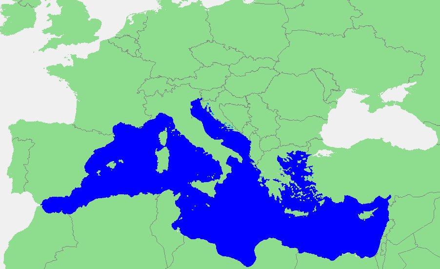
| Deskripshon |
Nederlands: Locatie Middellandse Zee
中文:地中海地图 |
||||
| Fuente | own work based on PD map | ||||
| Outor | edited by M.Minderhoud | ||||
| Pèrmit (Ta re-utilisá e fail akí) |
|
Historia di fail
Klek riba un fecha/ora pa mira e fail, manera e tabata na e momentu ei.
| Fecha/Ora | Miniatura | Dimenshonnan | Usuario | Komentario | |
|---|---|---|---|---|---|
| aktual | 18:21, 12 sèptèmber 2006 | | 902 × 551 (33 KB) | Michiel1972 | {{Information |Description=In dutch: {{subst:PAGENAME}} |Source= own work based on PD map |Date= |Author= edited by M.Minderhoud |Permission= {{PD-Demis}} |other_versions= }} category:Locator maps of seas |
Uso di fail
E próksimo page uses ta uza e fail akí:
Uso global di fail
E próksimo otro wikinan ta usa e fail akí
- Uso na ang.wikipedia.org
- Uso na an.wikipedia.org
- Uso na avk.wikipedia.org
- Uso na awa.wikipedia.org
- Uso na bat-smg.wikipedia.org
- Uso na be-tarask.wikipedia.org
- Uso na bm.wikipedia.org
- Uso na ca.wikipedia.org
- Uso na cbk-zam.wikipedia.org
- Uso na cdo.wikipedia.org
- Uso na ceb.wikipedia.org
- Uso na crh.wikipedia.org
- Uso na csb.wikipedia.org
- Uso na de.wikipedia.org
- Uso na el.wikipedia.org
- Uso na en.wikipedia.org
- Uso na eo.wikipedia.org
- Uso na es.wikipedia.org
- Uso na et.wikipedia.org
- Uso na fa.wikipedia.org
- Uso na fiu-vro.wikipedia.org
- Uso na fr.wikipedia.org
Mira mas uzo global di e fail akí.